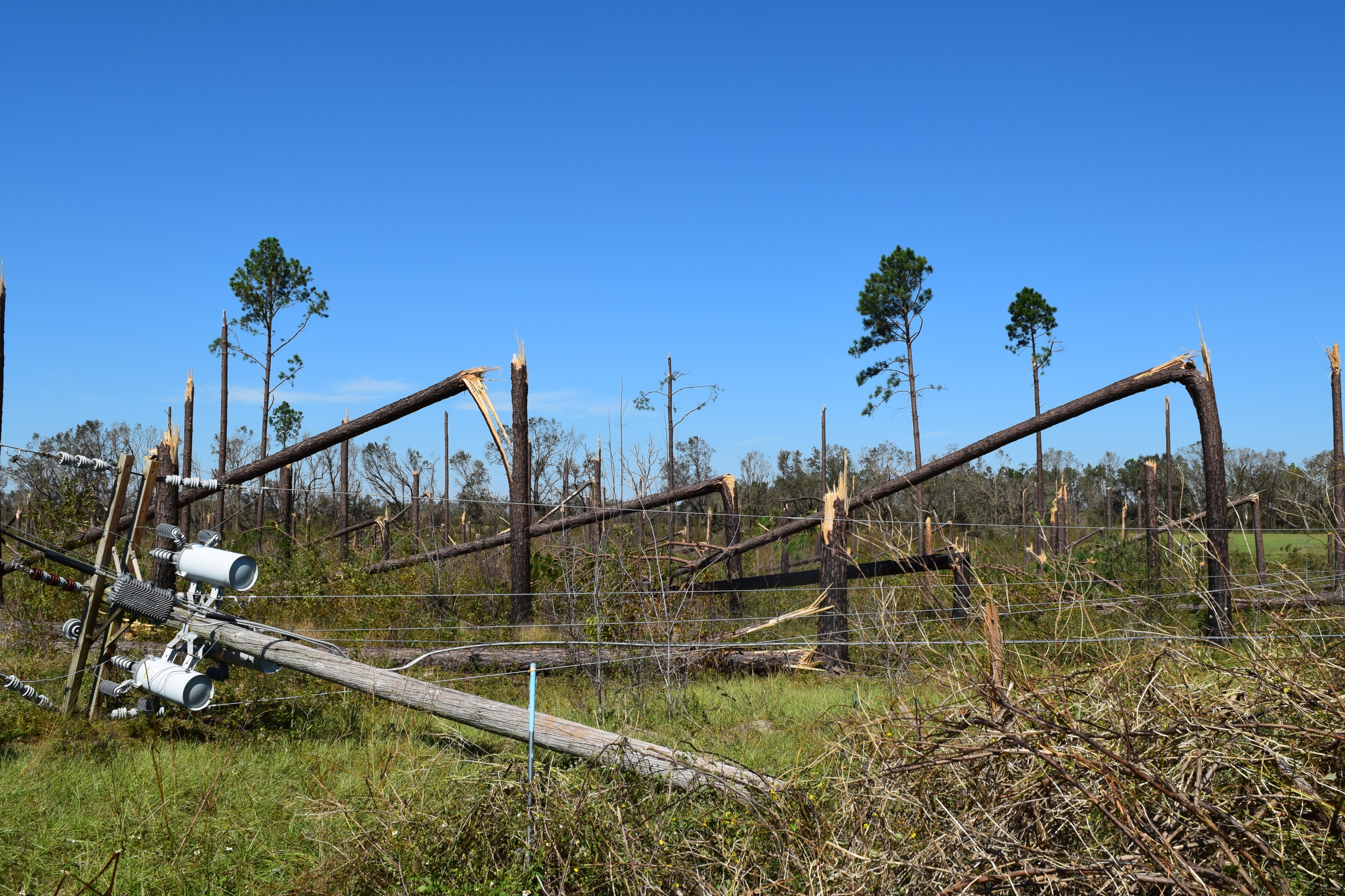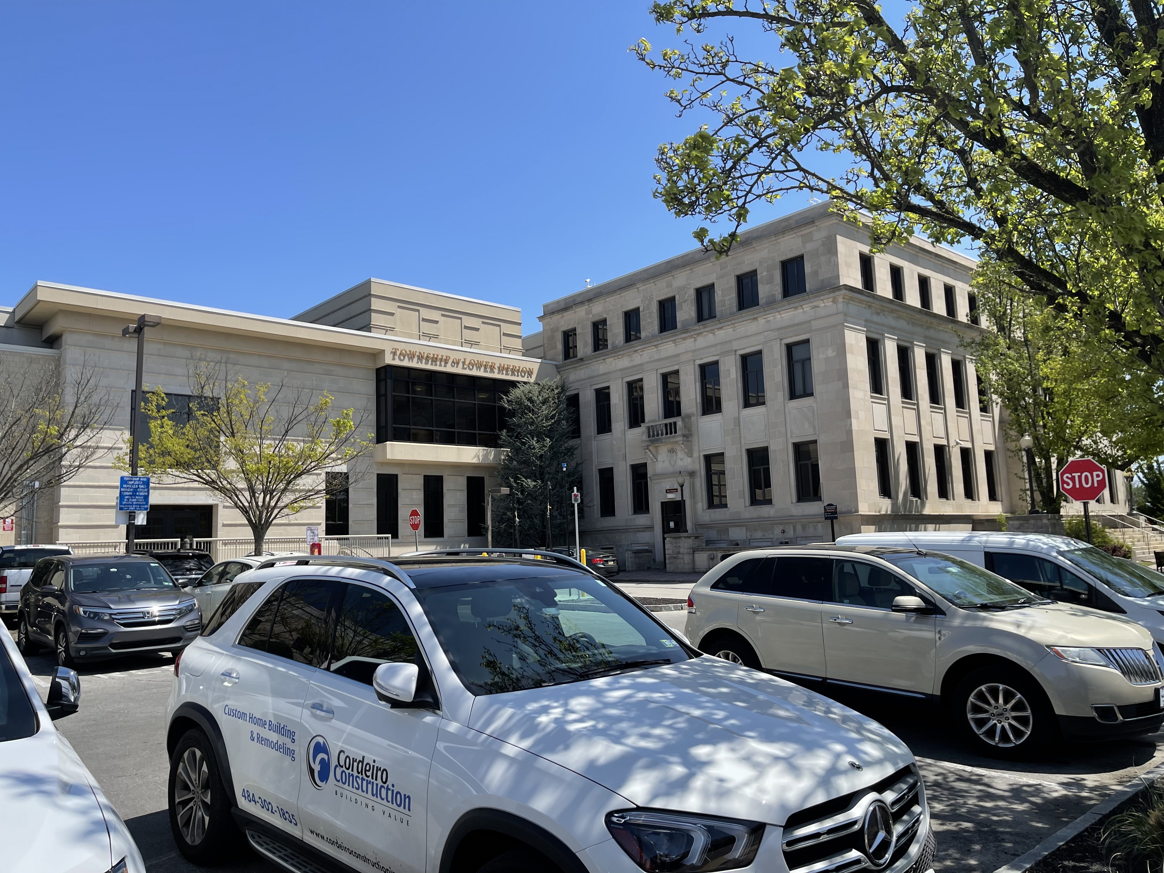
A nor'easter tracking toward the Philadelphia region could bring heavy rain and damaging wind gusts to Lower Merion Township by Friday, Sept. 25, forecasters warn.
AccuWeather said Monday, Sept. 21, that the storm has the potential to be severe, with flooding and power outages as the two main threats. The nor'easter could continue through the weekend, though its exact track and intensity remain uncertain, Patch reported.
AccuWeather meteorologist Alex DaSilva told Newsweek that the service was "leaning toward a track that is closer to the coast and therefore can bring more significant impacts." He said coastal areas face the highest risk of power outages because leaves still on trees can amplify wind damage, a concern that extends inland when gusts intensify.
A full moon later in the week could push tide levels higher and worsen coastal flooding from North Carolina to New York, according to AccuWeather.
The storm could follow a path similar to Superstorm Sandy in 2012, drifting out to sea before curving back toward the mid-Atlantic coast, AccuWeather said. The service stressed that comparison refers to the track, not the intensity.
Lower Merion's 2026 storm toll
The township has absorbed repeated severe weather this year. On July 11, a series of at least four microbursts brought 60-to-70-mph straight-line winds, knocking out power to nearly 7,500 customers and blocking at least 55 streets with downed trees. Lower Merion declared a state of emergency that afternoon, Main Line Media News reported.
On Aug. 4, flooding shut down a stretch of I-76 East near the Green Lane Bridge at the Lower Merion-Philadelphia border, according to Patch. On Sept. 18, a large tree fell on two vehicles and a traffic signal on the 100 block of Belmont Avenue in Bala Cynwyd, hospitalizing two people and closing the eastbound Belmont Avenue ramp from I-76, 6abc reported.
The cost is adding up. Township manager Ernie McNeely said at a September budget workshop that Lower Merion has spent $1.2 million on storm response in 2026, citing it as a budget headwind, according to Main Line Media News.
Commissioner Ray Courtney, chair of the township's sustainability committee, said in an August Philadelphia Inquirer article about aging suburban stormwater systems: "We get a 100-year storm every year."
How to prepare
As of Monday, Sept. 21, Lower Merion Township had not issued a storm-specific advisory for this nor'easter. Residents should monitor the township's website at lowermerion.org and its X account (@LowerMerionTwp) and Facebook page for updates as the storm approaches.
The township also sends alerts through its Blackboard Connect notification system. Residents with questions can call the Public Information Office at 610-645-6199.
To report a PECO power outage, call 1-800-841-4141 or text OUT to 697326, according to the township's emergency management page. Residents can also check peco.com for outage maps.
Friday's forecast calls for a 40% chance of showers with a high near 65°F, but that could change as the storm's track becomes clearer before Friday.